
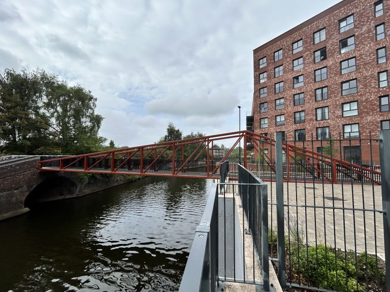
We have completed a primary condition survey to the underside of a canal footbridge in Birmingham City Centre using one of our sub 250g drones.
We deployed one of our CAA registered and insured pilots to undertake the assessment.
The objectives of the drone survey, as instructed by Our Client are as follows:
Determine the condition of the underside of the bridge which is not accessible via normal means.
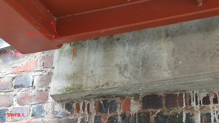
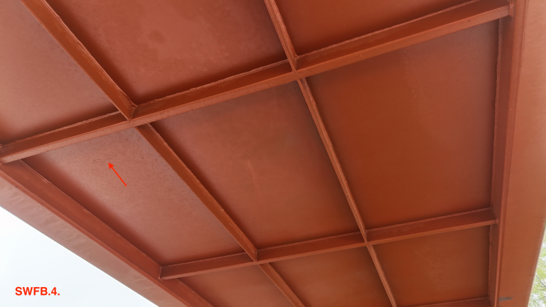
Conduct a photographic record throughout the investigative works and report on any defects such as deterioration, cracks or corrosion using our drone.
Taking off and landing on our clients’ private land negated the requirement for specialist permits for working on public land.
The drone survey carried out in Birmingham, utilized unmanned aerial vehicle (UAV) equipped with 4k cameras and sensors to capture high-resolution images and videos.
Drone surveys are used carry out a primary condition of your Asset, which is very cost effective but dependant on the results of the report, may warrant further investigation using a tactile inspection using different means such as Rope Access …. we can offer further inspections using our dedicated Rope Access Surveyors
Primarily our drone surveys offer a safe, efficient, and cost-effective alternative to traditional surveying methods, especially for inspecting hard-to-reach areas.
Data Collection:
Our Drones are equipped with high-resolution 4k cameras and can capture extremely detailed images and videos of a asset, including aerial photos.
Applications:
- Property Management:
Inspecting roofs, assessing building conditions, and identifying potential problems, without the requirement of disrupting the Building occupants. - Infrastructure:
Inspecting bridges, multi storey car parks, Roofs on Commercial Buildings including drainage systems.
Benefits:
- Safety:
- Our Drones can access areas that are difficult or dangerous for humans to reach.
- Efficiency:
- Drones can cover large areas quickly and efficiently, saving time and resources.
- Cost-effectiveness:
- Drone surveys can be more affordable than traditional surveying methods, especially for complex or large-scale projects.